 We all live in a watershed. A watershed is simply the land area where all surface and ground water drains to a common body of water, such as a lake or river. John Wesley Powell, 1834-1902, the first to run the Colorado River through the Grand Canyon, scientist geographer, put it best when he said that a watershed is:
“that area of land, a bounded hydrologic system, within which all living things are inextricably linked by their common water course and where, as humans settled, simple logic demanded that they become part of a community.”
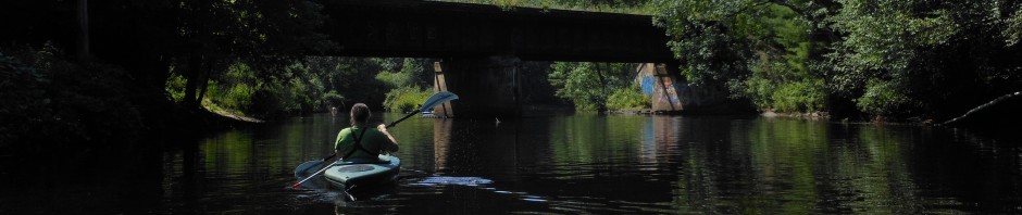
Watersheds come in all shapes and sizes. They cross county, state, and national boundaries. The Millers River watershed (or “basin” )covers 392 square miles and consists of many smaller sub-watersheds, such as the Tully River basin and Otter River basin. Ultimately the Millers River enters the Connecticut River and is part of that larger watershed.
Massachusetts has twenty-eight watersheds. On the map below, the Millers River watershed is at the top just left of center. More maps of the watershed may be found here.

Watersheds in Massachusetts
All watersheds have similar characteristics.

The Make Up of a Watershed
Water from precipitation collects and flows downhill. The adjoining ridges form the boundary divides and create the watershed “basin”. All rain/snow that falls on the land within the boundary flows into the streams, brooks, and river of the watershed. Debris, particles, and contaminents that are on the surface can be washed downstream and carried through the watershed. Land protection is therefore important in protecting water quality.


